Inver Lodge, Loch Inbhir,
Turlough, Connemara
The search
The search for Inver Lodge started when Mary Anne Conneely, my great grandmother, quoted it as her parents' address when she married my great grandfather Joseph Mortimer, in the Pro-Cathedral in Dublin in 1861. She described it as Inver Lodge, Oughterard, which threw me a bit. While it is in the Oughterard Union area, it is really well southwest of Oughterard itself.
I came across a reference to Inver Lodge in the London Times (online) as a favourite place of the Lord Dudley, though this was much later than the period I was interested in. Wally Kirwan alerted me to the Fisheries angle. There is a reference to Lord Dudley's estate, called Inver Lodge, and just across the road from Pearse's Cottage on the Carna website. A very recent Google search came up with it on a Google map but the coordinates put it on the lakeshore rather than on the island.
The librarian and staff of the Galway County Library on Nun's Island were very helpful over two few weeks recently, at the end of which I not only had the location of Inver Lodge securely pinpointed, I had determined that Thomas Conneely's holdings were not on the island but about a mile south west of this and on the southern rather than the northern side of the road west from Screeb.
Meanwhile searches on the recently opened Irish Times digital archive came up with material on Inver Lodge, though this all dates from the twentieth century.
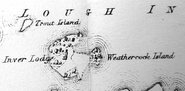
Inver Lodge
Inver Lodge, built in 1840, was the principal house on the 68 acre Inverbeg estate. It is situated on an island in Loch Inver (Lough Invernagleragh), in the townland of Turlough and (civil) parish of Kilcummin. In Mary Anne's time access was by boat only.
A fairly
detailed description was given in an advertisement letting the house for the 1924 season.
Further information on the estate was contained in an
article (Irish Times, 22/5/1997) when the property came on the market.
The estate was developed by the Guinness Family in the mid nineteenth century and by 1997, when it came on the market, it had four houses, several trout lakes and shooting rights over 9,600 acres.
At the time of the Griffiths survey the location was a salmon fishery run by Mr. O'Hara. It was recently the location of Inver Hatcheries Ltd. but I am told it is now simply a guest house.
Thomas Conneely
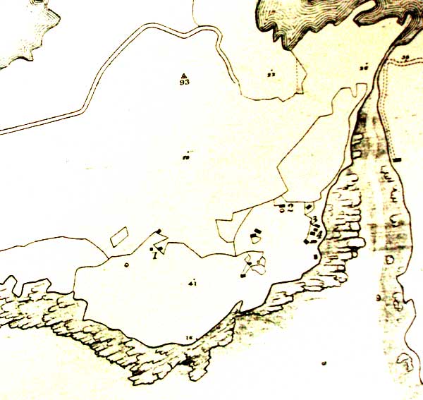
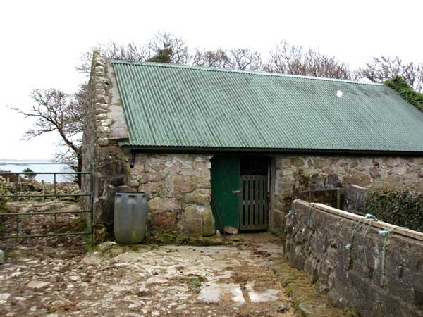
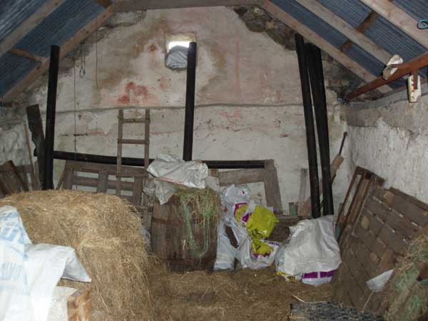
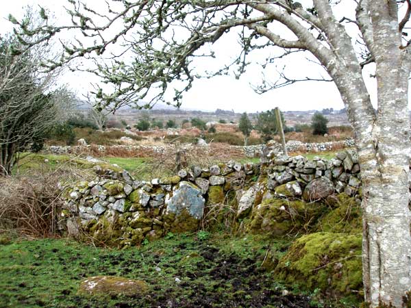
According to Griffith's Valuation, Thomas Conneely, Mary Anne's father, leased a herd's house, office and land from the Law Life Assurance Company, which was at least acting for the owners, if not owning the land itself. At the time of the first ordnance survey maps this was part of the Martin estate. The precise acreage relating to Thomas is not specified. His holding is valued at £11, comprising £10 in land and £1 in buildings. These latter are specified as a "Herd's house and offices".
The Griffiths maps indicate his holding on the north shore of Turlough Bay, about a mile south west of Inver Lodge. I will try and check if Thomas had any particular functions in relation to the estate other than looking after the herd.
The Natives
Before you look at the maps and photos you might like to absorb a little of the relationship between the natives and their betters which prevailed at the turn of the 19/20th century in this godforesaken part of the country. The material is taken from a report by the Irish Times reporter in that paper on 17 July 1906 on the Viceregal Tour of Connemara by the Lord Lieutenant and Lord Dudley.
In general the atmosphere was constructive and benign. Money had been invested in the area and the role of the Dudley nurses was much appreciated. There are however a few snippets worth retailing.
At the Lough Connemara National School, their Excellencies engaged in conversation with the teacher and children, speaking some kindly words to them. The journey was then resumed.
At Carna Convent school, Lady Aberdeen presented a prize in each class to the boy or girl who had the best attendance record during the next [sic] year. The prizes were gratefully accepted by the Rev. Mother, and it was intimated that a holiday would be granted to the children in honour of the visit. [Now where did I hear that one in more modern times?]
Next on the list were the sports at Mweenish Island. On reaching the Island Their Excellencies witnessed an immense crowd of Irish-speaking peasants engaged in various contests, under the direction of Rev. Father Lavelle, C.C. ... The people, amongst whom were many picturesquely-dressed woman and girls, then gathered in a field, where racing and jumping contests took place. The people having been assembled in a crowd, Father McHugh [PP] asked them to pass a hearty vote of thanks to Their Excellencies for having honoured their sports by their presence. (A voice - "They are welcome," and cheers.) He felf himself personally under a great compliment to Their Excellencies for having come to witness their sports.
The Maps
Some relevant maps are set out below. The Google map is interactive. You can change type between satellite, terrain, and roadmap, move the map around and zoom in and out. It loads as a satellite map as this is the clearest rendering of the actual landscape. If you get lost, reload the page and you will be back where you started.
|